Upcoming Predicted Floods
Below are the predicted times of high tides that have a high likelihood to flood the bike path. These are only tidal predictions and do not account for weather conditions such as wind, rain or storm surges that may also result in flooding even if the predicted tide level is below the height of the bike path.
| Date and time of high tide | Height (feet) |
|---|---|
| Friday, June 12 at 9:44PM | 6.60 |
| Saturday, June 13 at 10:30PM | 6.84 |
| Sunday, June 14 at 11:20PM | 6.95 |
| Tuesday, June 16 at 12:12AM | 6.91 |
| Wednesday, June 17 at 1:06AM | 6.67 |
Sign Up for Flood Notifications
If you want to receive email notifications and stay informed about potential flooding events on the bike path, you can sign up below. Emails will be a weekly reminder if there are upcoming floods predicted for the week. No emails will be sent if there are no floods predicted.
You can unsubscribe at any time with the unsubscribe link that is always included in the emails.
About
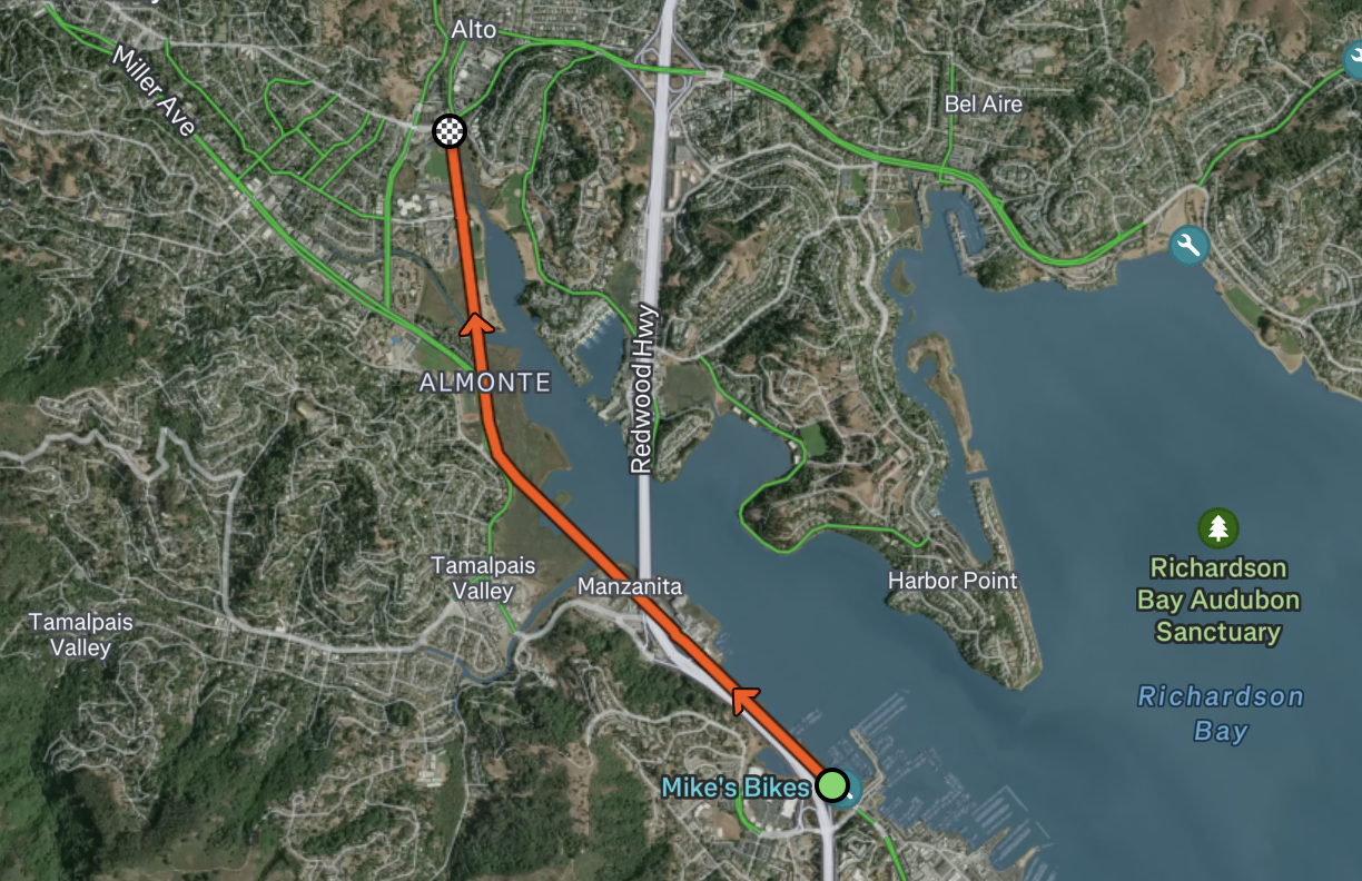
Sections of the bike path between Bothin Marsh and Sausalito are prone to tidal flooding when the predicted tide level at the Sausalito station is over 6.4 feet.
Data Source
Tidal predictions are sourced from the NOAA Tides and Currents service using their public API for the closest station to the bike path, the Sausalito Corps of Engineers Dock (Station ID: 9414819).
The flood threshold of 6.4 feet is based on observations and reports that I found from the Marin County Bike Coalition.